In collaboration with the Photogrammetry and Laser Scanning Lab at the Technion in Haifa, the DesignLab (Prof. Girot) has been mapping the site of the Jordan River Powerplant at Nahayarim, built in 1932. Using advanced point cloud technology, the site was scanned to achieve a 3D model of astounding precision and aesthetic beauty that enabled ETH students in the course Scales of Power to investigate geo-political dimensions of the landscape. Prof. Christophe Girot, Ben Gitai, Ilmar Uriël Hurkxkens, Philipp Urech. Partners: Prof. Sagi Filin, Zachi Shtain and Reuma Arav.

Articoli correlati


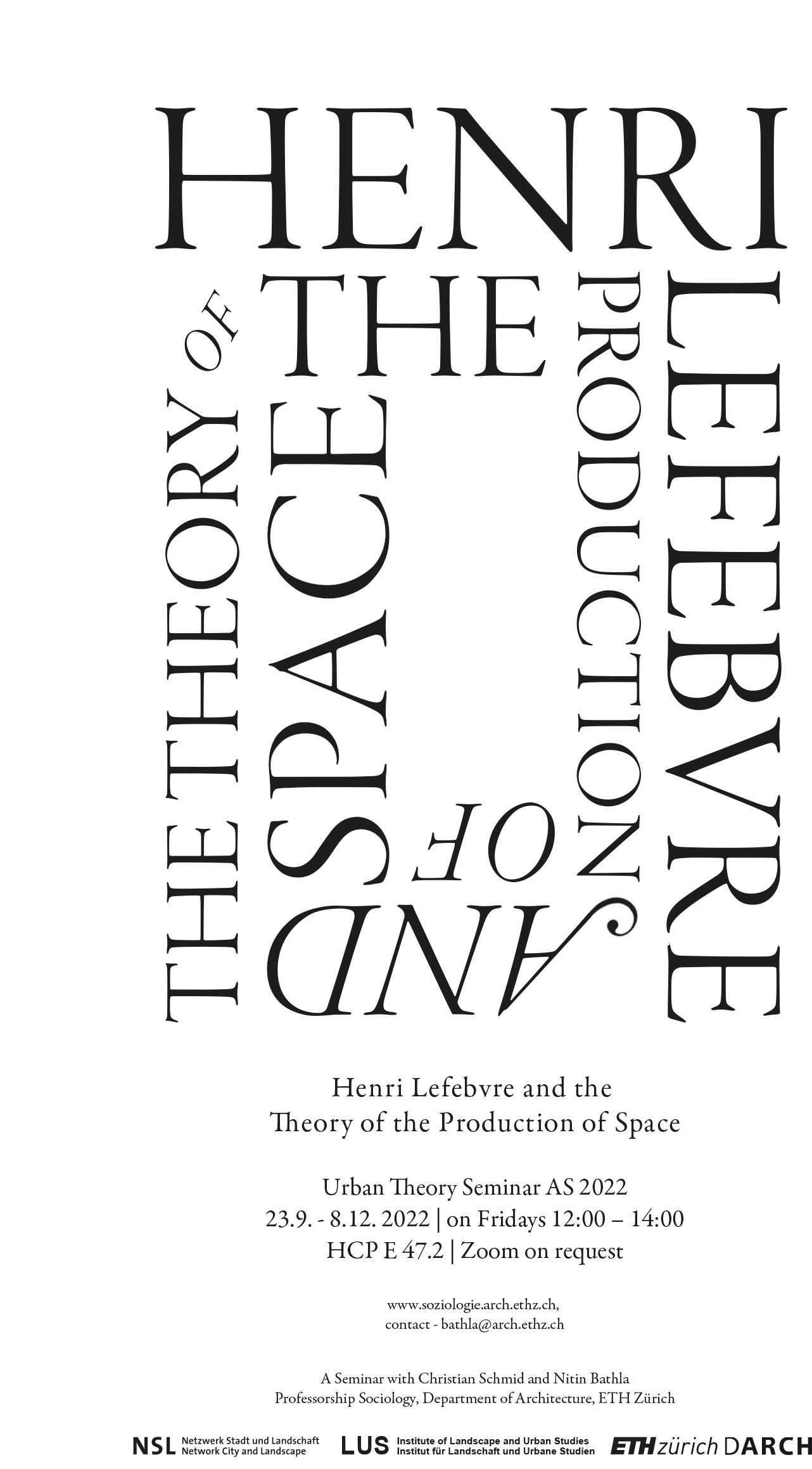
Henri Lefebvre and the Theory of the Production of Space
5. Settembre 2022
disP 56/4, December 2020
30. Marzo 2021